New Amsterdam
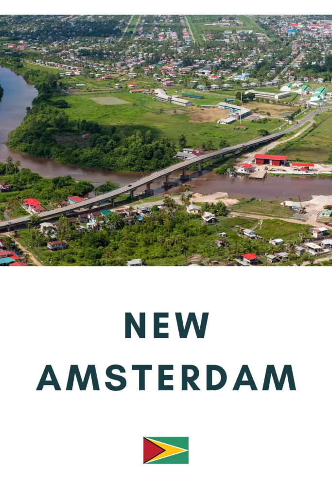
New Amsterdam is a northeastern Guyanese town along the Berbice River, near its confluence with the Atlantic Ocean.
Originally established in 1740 by the Dutch and initially named Fort Sint Andries, it became the seat of the Dutch colonial government in 1790. The British took control of the town in 1803.
Brief History of New Amsterdam
The construction of New Amsterdam in 1740 by the Dutch marked a significant chapter in the colonial history of Guyana. Originally named Fort Sint Andries, it served as a fortification and strategic outpost for the Dutch in the 18th century. The choice of its location was likely influenced by its proximity to the Berbice River, facilitating control over river traffic and providing a defensive position against potential threats.
Over the years, Fort Sint Andries evolved into a settlement and grew in importance. In 1790, it was elevated to the status of the seat of the Dutch colonial government, becoming a centre of administration and governance for the Berbice colony.
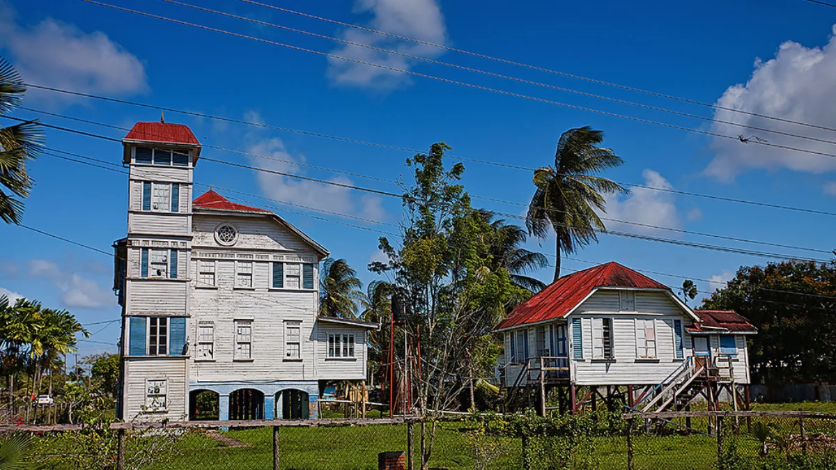
The naming of Fort Sint Andries and its subsequent transformation into New Amsterdam also reflected the cultural influences of the Dutch in the area. Dutch colonial architecture and planning principles may have shaped the town’s early development.
In 1831, New Amsterdam lost its status as a capital, as a result of the amalgamation of the two colonies of Berbice and Essequibo/Demerara, forming the British Guiana.
Information on New Amsterdam
| Place name | New Amsterdam |
| Region | East Berbice-Corentyne |
| Estimated Population | 33,000 |
| Area | 2.78 km² |
| Coordinates | 6°15′N 57°31′W |


