Facts About Fort McMurray
-
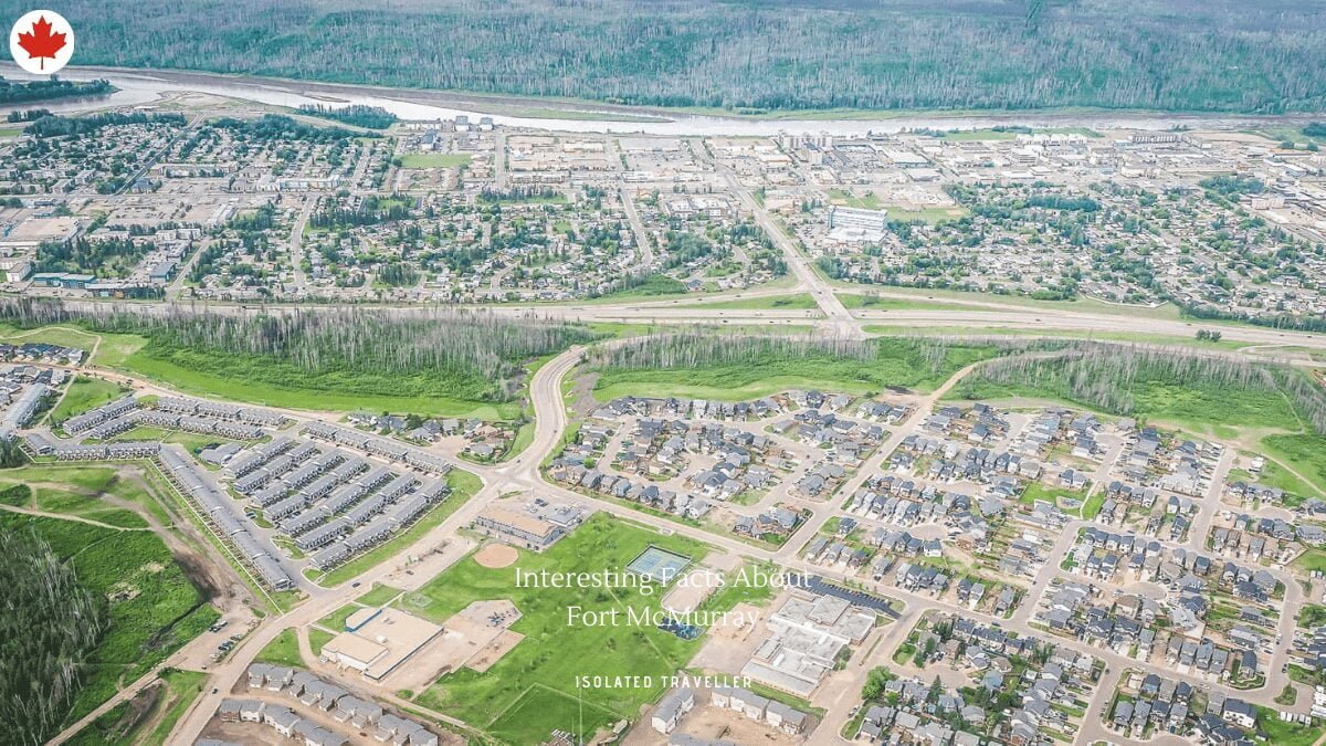
Fort McMurray is an urban service area in the Regional Municipality of Wood Buffalo in Alberta, Canada.
-
Fort McMurray is located in northeast Alberta, in the middle of the Athabasca oil sands, surrounded by boreal forest. It has played a significant role in the development of the national petroleum industry.
-
The 2016 Fort McMurray wildfire led to the evacuation of its residents and caused widespread damage.
-
Fort McMurray was known simply as McMurray between 1947 and 1962.
-
The Estimated Population of Fort McMurray is 66,573.
-
On April 1, 1995, the City of Fort McMurray and Improvement District No. 143 were amalgamated to form the Municipality of Wood Buffalo. The new municipality was subsequently renamed the Regional Municipality (RM) of Wood Buffalo on August 14, 1996.[13] As a result, Fort McMurray was no longer officially designated a city.
-
The average annual precipitation is 418.6 mm and falls mainly in the summer months.
-
Neighbourhoods in Fort McMurray include Abasand Heights, Beacon Hill, Gregoire, Lower Townsite, Thickwood Heights, Dickinsfield, Eagle Ridge, Stonecreek Village, Parsons Creek, Timberlea and Waterways.
-
The highest temperature ever recorded in Fort McMurray was 38.9 °C on July 18, 1941. The lowest temperature ever recorded was −53.3 °C on February 1, 1917, and December 31, 1933.
-
The Average Elevation of Fort McMurray is 260 m.


