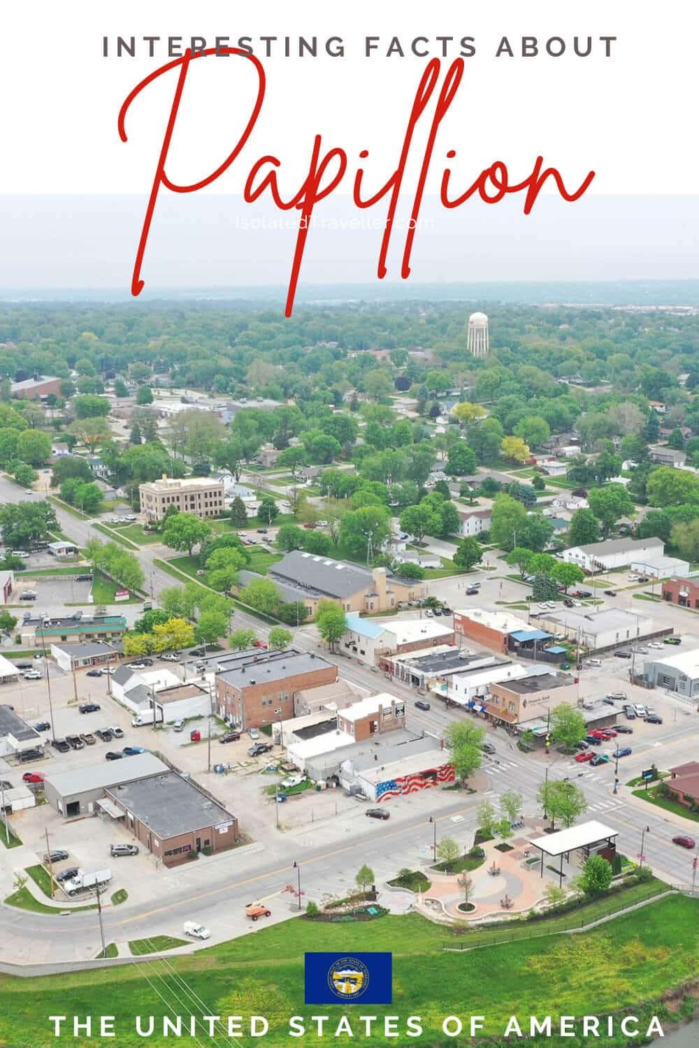
Facts About Papillion
- Papillion was platted in 1870 when the railroad was extended to that point.
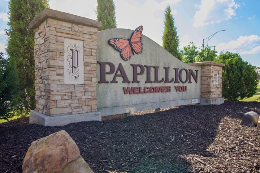
- The city was named after the creek of the same name which flows through its centre. The name Papillion (papillon) is taken from the French language and means butterfly.
- Papillion is divided into four wards with two council members representing each. One seat for each ward is up for election every two years with each term lasting four years.
- Papillion has a total area of 6.47 square miles, of which, 6.45 square miles of it is land and 0.02 square miles is water.
- Papillion is part of the Papillion-La Vista Public School District, which includes two high schools, two junior high schools and six public elementary schools within the city limits of Papillion.
- Papillion is part of the larger five-county metro area of Omaha.
- Papillion is a city in Sarpy County in the state of Nebraska, United States.
- The primary coordinate point for Papillion is located at latitude 41.1544 and longitude -96.0422 in Sarpy County.
- The City of Papillion is the 7th largest city in Nebraska with a population of 24,917 as of July 1, 2022.
- Papillion is home to Nebraska’s Triple-A minor league baseball, Werner Park, which opened in 2011 as the new home of the Omaha Storm Chasers of the Pacific Coast League.


