Facts About Summerlin South
Summerlin South has a total area of 9.64 square miles.
The Summerlin South Census Designated Place has a U2 Census Class Code which indicates a census-designated place without an official federally recognized name.
Summerlin South bounded on the north by Charleston Boulevard, Hualapai Way to the east and Red Rock Canyon National Conservation Area to the west.
The estimated population of Summerlin South is 27,908, as of 2019.
Summerlin South is named after it’s a southward extension of the master-planned community of Summerlin.
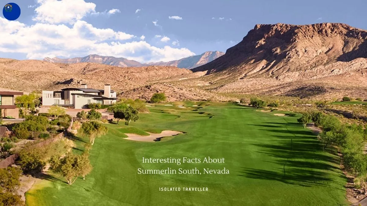
Summerlin South, also seen on maps as South Summerlin, is a census-designated place in Clark County, Nevada, United States.
Nearly all of Summerlin South is in ZIP code 89135.
The estimated elevation of Summerlin South is 3,500 feet above sea level.
The median age in Summerlin South is 44.2 years old.
The primary coordinate point for Summerlin South is located at latitude 36.1243 and longitude -115.3325 in Clark County.
