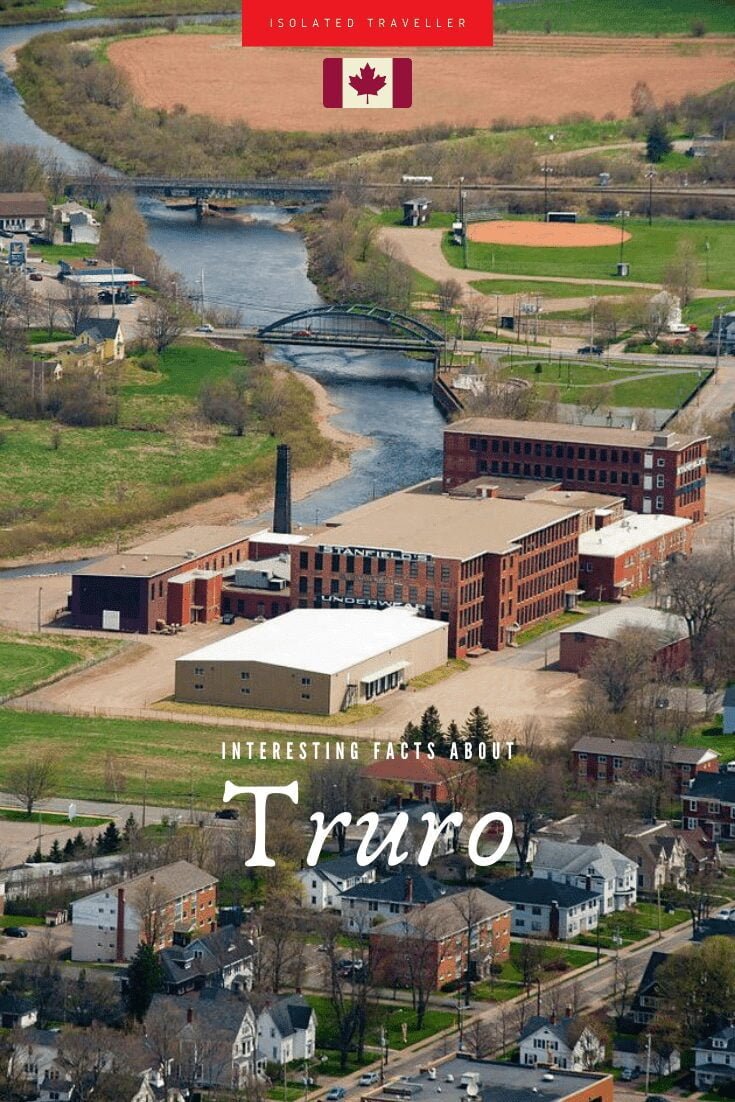
Facts About Truro
-
The name Truro is said to have derived from the Cornish “term “Tr”-veru”, meaning three rivers.
-
The area has been home to the Mi’kmaq people for several centuries. The Mi’kmaq name for the Truro area, “Wagobagitik” means “end of the water’s flow”.
-
The highest temperature ever recorded in Truro was 35.6 °C on 19 August 1935 and 15 August 1944. The coldest temperature ever recorded was −38.3 °C on 22 January 1934.
-
Truro is the shire town of Colchester County and is located on the south side of the Salmon River floodplain, close to the river’s mouth at the eastern end of Cobequid Bay.
-
Truro has a land area of 34.49 km2 / 13.32 sq mi.
-
Truro is known as the Hub of Nova Scotia as it is located at the junction between the Canadian National Railway, running between Halifax and Montreal, and the Cape Breton and Central Nova Scotia Railway, running between Truro and Port Hawkesbury.
-
The Estimated Population of Truro is 12,261.
-
Truro is a town in central Nova Scotia, Canada.
-
Truro, Nova Scotia was incorporated as a town in 1875.
-
In 1761, the British settled the area with Presbyterians of predominantly Ulster Scottish origin who came from Ireland via New England. They named the new settlement after the city of Truro in Cornwall, United Kingdom.


