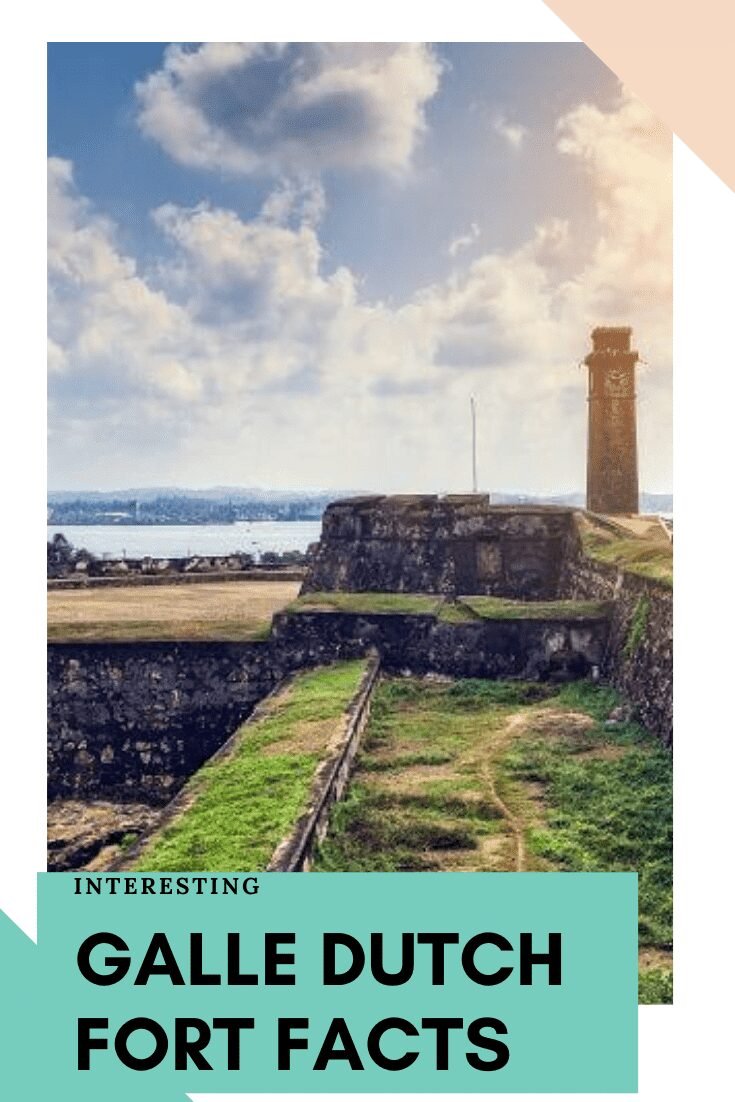
Galle Dutch Fort Facts
-
The fort, originally built by the Portuguese in the 16th century to defend Galle, was an earthen structure with palisades covering the northern inland side with a rampart and three bastions.
-
The fort has a colourful history, and today has a multi-ethnic and multi-religious population.
-
The Galle Fort, also known as the Dutch Fort or the “Ramparts of Galle”, withstood the Boxing Day tsunami which damaged part of coastal area Galle town.
-
Galle’s earliest historical existence is traced to Ptolemy’s world map of 125–150 AD when it was a busy port, trading with Greece, Arab countries, China and others.
-
Galle Dutch Fort covers an area of 52 hectares (130 acres).
-
The heritage value of the fort has been recognized by the UNESCO and the site has been inscribed as a cultural heritage UNESCO World Heritage Site under criteria iv, for its unique exposition of “an urban ensemble which illustrates the interaction of European architecture and South Asian traditions from the 16th to the 19th centuries.”
-
Galle Dutch Fort Geographic Coordinates 6.025833°N 80.2175°E
-
The British took over the fort on 23 February 1796, one week after Colombo was captured. Sri Lanka remained a British colony formally from 1815 till it became an independent island nation in 1948.
-
The fortress is completed with 14 bastions.
-
The Oriental Hotel inside Fort which was built in 1694, was a building constructed for the use of Dutch Governor and his officials.


