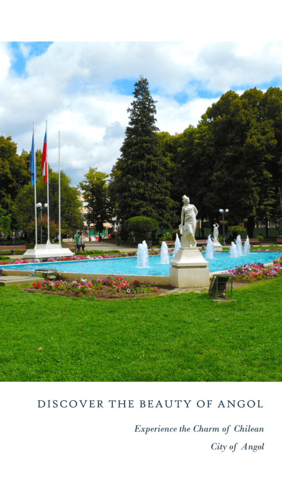
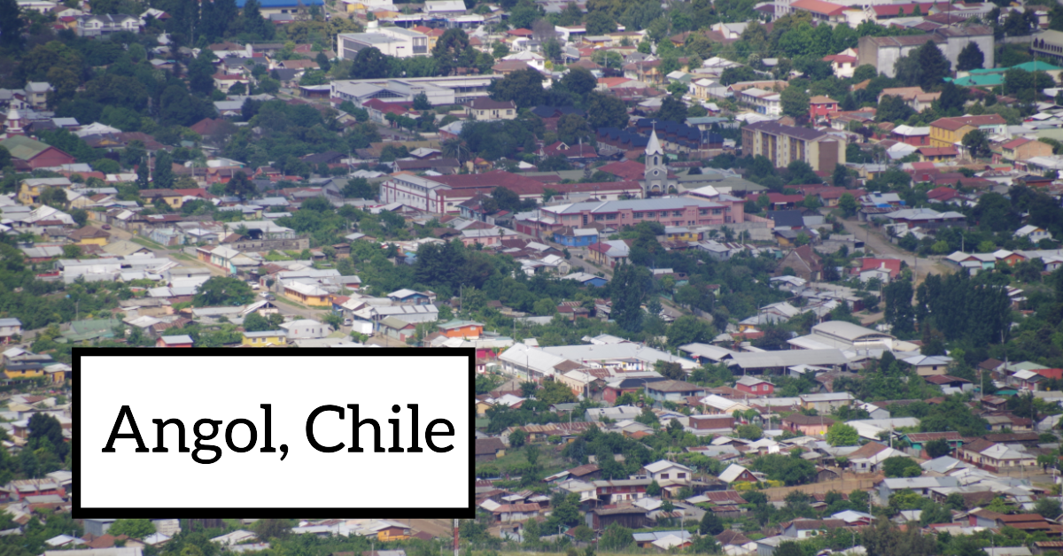
Angol serves as both a commune and the capital city of the Malleco Province within the Araucanía Region in the southern part of Chile. Situated at the base of the Nahuelbuta Range and alongside the Vergara River, the town’s favourable location allowed for essential waterway connections to the Bío-Bío River and Concepción. This strategic positioning provides insight into the city’s successive foundations during the Arauco War.
Angol was initially established in 1553 as a “conquistador” fort known as Confines. This fort underwent multiple cycles of destruction and reconstruction. It wasn’t until the late 19th century, during the Pacification of Araucania, that it was rebuilt and officially named Angol.
Brief History of Angol
The modern town of Angol has a complex history. It was initially established in 1553 by Pedro de Valdivia as the conquistador fort of Los Confines. However, that same year, it was abandoned and destroyed by the Mapuche following the Battle of Tucapel. In 1560, Governor García Hurtado de Mendoza re-established the city a bit to the north of the original fort and named it San Andrés de Angol, in honour of his father, the Viceroy of Peru. It was often referred to as Ciudad de Los Infantes due to the infantrymen assigned to its construction.
Angol faced challenges, including an attack and destruction by the Mapuche in 1599 after the Disaster of Curalaba. In 1611, the city was rebuilt by Luis Merlo de la Fuente, slightly to the south, under the name San Luis de Angol, but it struggled to thrive. In 1637, Governor Francisco Laso de la Vega re-founded it as San Francisco de la Vega. However, in 1641, the city was abandoned by the terms of the Peace of Quillin with the Mapuche.
In 1695, Tomás Marín de Poveda repopulated the town and named it Santo Tomás de Colhue. Unfortunately, it faced further destruction during the Mapuche Rising of 1723 and once more during their uprising in 1766. After this final devastation, Angol never managed to recover its former stature.
The current city of Angol was established by Cornelio Saavedra Rodríguez on December 6, 1862, with the purpose of serving as a fortress and a central hub for his efforts in the Pacification of Araucania.
Angol gained official city status in 1871 and was linked by railroad to Santiago in 1876. In 1881, it played a pivotal role in the conclusive campaign for pacification. Following this, it became a vital economic and administrative hub, as well as the departure point for both Chilean and foreign colonists who settled in the surrounding lands.
How to get around Angol
The primary and most practical means of transportation in Angol, Chile, are taxis and buses. Taxis offer a private and direct travel option for those seeking convenience. On the other hand, buses provide a cost-effective way to move within the city and to neighbouring regions.
Angol Statistic
| Statistic | Value |
| Name | Angol de los Confines |
| Estimated Population | 53,000 |
| Total Area | 1,194.4 km2 |
| Elevation | 65 m (213 ft) |
| Postal code | 4650000 |
| Coordinates | 37°48′S 72°43′W |
| Official Website |


