Key takeaways
- Mabaruma
- Brief History of Mabaruma
- Mabaruma Statistics
Mabaruma
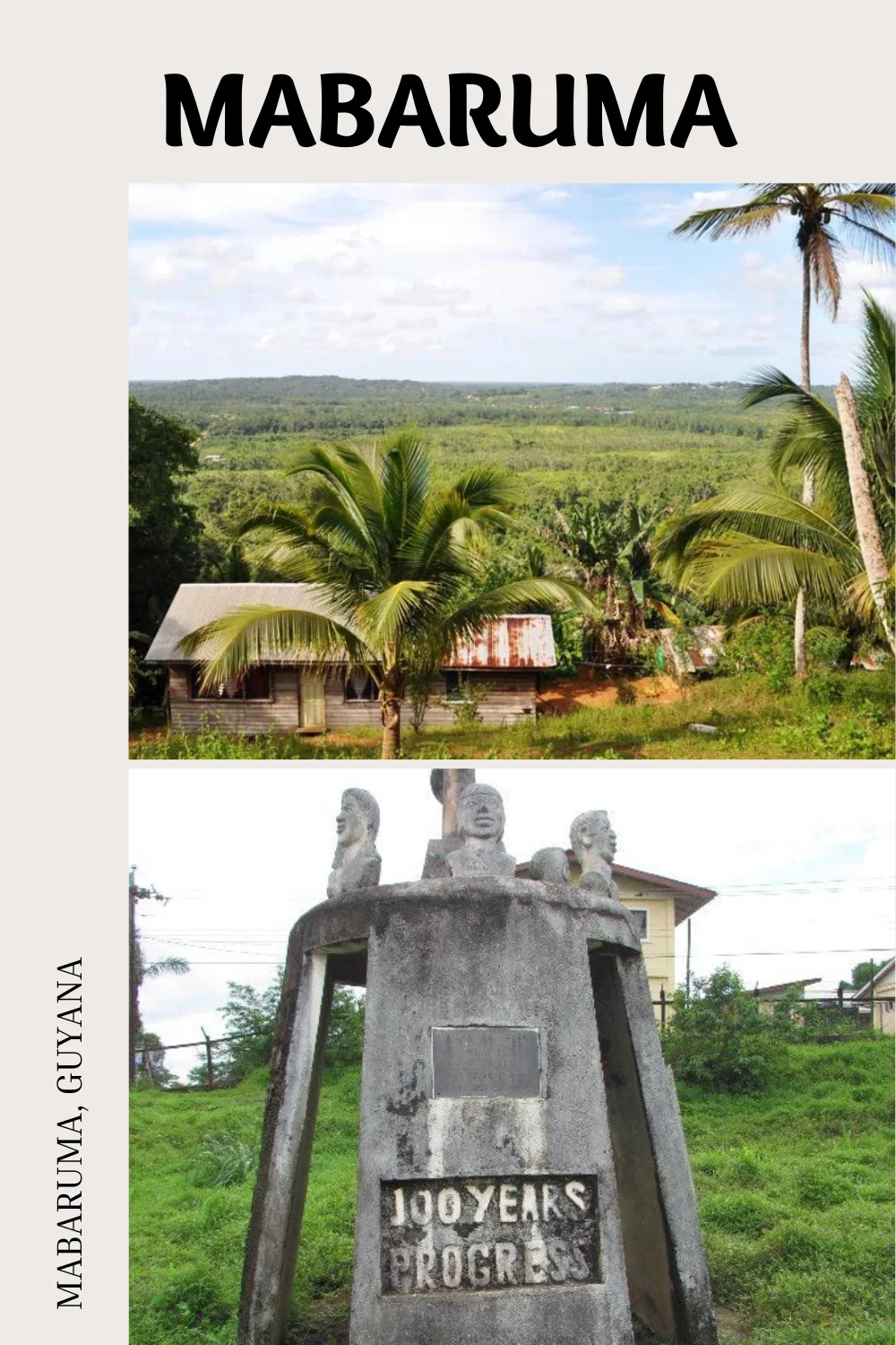
Mabaruma serves as both the administrative centre and regional capital for Region One, Barima-Waini, in Guyana.
Positioned near the Aruka River, which forms part of the Venezuelan border, the town rests on a narrow plateau above the encompassing rainforest, situated at an elevation of 13 meters.
Mabaruma is home to the region’s first secondary school, the North West Secondary School, founded in 1965. Most of the local population engages in livelihoods centred around farming or fishing.
Brief History of Mabaruma
During the colonial era, Guyana experienced Dutch, French, and British influences, with the British ultimately establishing control over the territory. Mabaruma likely developed as part of the region’s administrative and economic activities.
In recent decades, Guyana has undergone social and political changes, gaining independence from British rule in 1966. The country has faced various economic and political challenges, but it has also seen periods of growth and development.
Mabaruma was once a large estate owned by the Broomes family. Cocoa was one of the products manufactured before the Government of Guyana bought part of the land to build Governmental Institutions.
Mabaruma became the regional capital, succeeding Morawhanna, which was relocated due to flood risks. The transition to town status occurred in 2016, encompassing neighbouring villages like Hosororo and Kumaka.
In 2023, during the Guyana–Venezuela diplomatic crisis, citizens of Mabaruma rallied in support of Guyana amid the territorial dispute. Minister of Housing and Water, Collin Croal, participated in the event. The crisis has reportedly prompted some Guyanese residents to leave the town.
Mabaruma Statistics
| Mabaruma | Administrative Centre and Regional Capital |
| Region | Barima-Waini |
| Elevation | 43 ft above sea level |
| Estimated Population | 1,254 (2012) |
| Coordinates | 8°12′0″N 59°47′0″W |