Key takeaways
- Temuco Etymology
- Geography
- Sports
- Temuco Statistic
Temuco is situated in southern Chile, serves as both a city and a commune, and holds the distinction of being the capital of the Cautín Province and the Araucanía Region. Its origins can be traced back to 1881 when it was established as a fort with the same name, marking a significant episode during Chile’s Araucanía campaign.
The city of Temuco was established on February 24, 1881, by the Chilean army, originally serving as a fort during the Occupation of the Araucanía. This initiative was spearheaded by Manuel Recabarren, who gave the place the name “Fuerte Recabarren.”
Initially designed as a military encampment, Temuco possessed the characteristics of a camp during its inception. Just one year after its foundation, the initial framework of the downtown area began to take shape, with the first major streets emerging.
Temuco Etymology
The term “Temuco” originates from the Mapudungun language, signifying “temu water.” “Temu” denotes the shared name for two native trees belonging to the Myrtaceae family, specifically Luma apiculata and Blepharocalyx cruckshanksii.
Both of these tree species are notable for their orange-reddish bark and for bearing aromatic fruits and leaves, which the Mapuche people often employ for medicinal applications. While Blepharocalyx cruckschankii is on the brink of endangerment, Luma apiculata remains relatively abundant.
In Temuco, you can observe Luma apiculata in its natural habitat at the Cerro Ñielol Natural Monument, as well as in the city’s gardens and along its sidewalks. The fusion of “temu” and “co” (water) likely reflects the common occurrence of these trees near water bodies.
Geography
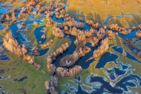
Temuco is positioned approximately equidistant from the Pacific Ocean to the west and the Andes Mountains to the east, The city’s location aligns with fluvial land masses originating from the Cautín River, formed in a compressed shape between two hills, Ñielol, at 350 meters and Conunhueno, at 360 meters.
The city’s geographical formation can be attributed to the Cautín River, which has shaped the land in and around Temuco. The river has contributed to the fertile soil in the region, making it suitable for agriculture.
The fertile soils in and around Temuco make it a significant agricultural region. It is known for producing a variety of crops, including fruits, vegetables, and grains. Additionally, forestry is a key industry in the region.
The geographical location of Temuco places it in the heart of Araucanía, which is a traditional homeland of the indigenous Mapuche people. The Mapuche culture and heritage play a vital role in the city’s identity.
Sports
Temuco is renowned as “La ciudad del deporte,” or “the city of sports.” At the heart of its sporting identity stands the “German Becker” stadium, one of the newest and most extensive stadiums in the country, serving as the home ground for the local soccer team, “Deportes Temuco.” This stadium has proudly hosted a wide array of both local and international sporting events, including:
- Hosted FIFA U20s Women’s World Cup in 2008.
- U20s World Rugby World Trophy in 2013
- American Cup in 2015
Temuco also played a significant role as one of the host cities for the official 1959 Basketball World Cup, during which Chile achieved a prestigious bronze medal.
Temuco Statistic
| Statistic | Value |
| Location | Central-southern Chile |
| Region | Araucanía |
| Province | Cautín |
| Founded | 24 February 1881 |
| Estimated Population | Approximately 290,000, as of 2021 |
| Area | Approximately 464.9 sq km |
| Climate | Temperate |
| Main Industry | Agriculture, Forestry, Services |
| Official Website | https://www.temuco.cl/ |