Map of Czech Republic
A map of the Czech Republic with major cities, highways, rivers, and regions.
The Czech Republic is known as Czechia and is surrounded by Austria to the south, Germany to the west, Poland to the north, and Slovakia to the east.
The Czech Republic is divided into 13 regions and 1 capital city. The regions are: Central Bohemian, South Bohemian, Vysocina, Plzensky, Karlovy Vary, Usti nad Labem, Liberec, Hradec Kralove, Pardubice, Olomouc, Moravian-Silesian, South Moravian and Zlin. Praha (Prague) is the capital city.
- The regions are divided into districts and further smaller subdivisions of municipalities.
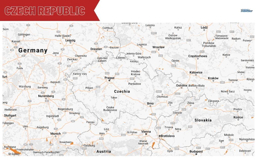
The map is showing the Czech Republic and the surrounding countries with international borders.

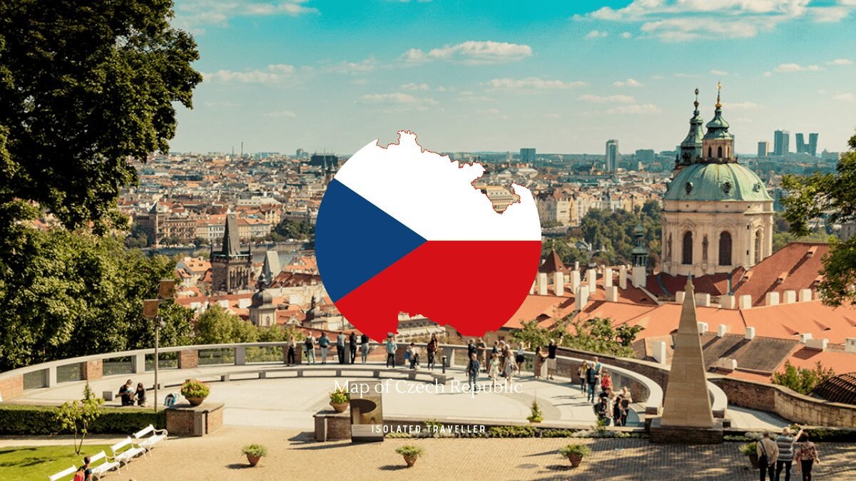
The map is showing the Czech Republic outline with the Czech Republic flag

The map is showing the Czech Republic and it’s divided by the regions of Bohemia, Moravia and Silesia IV
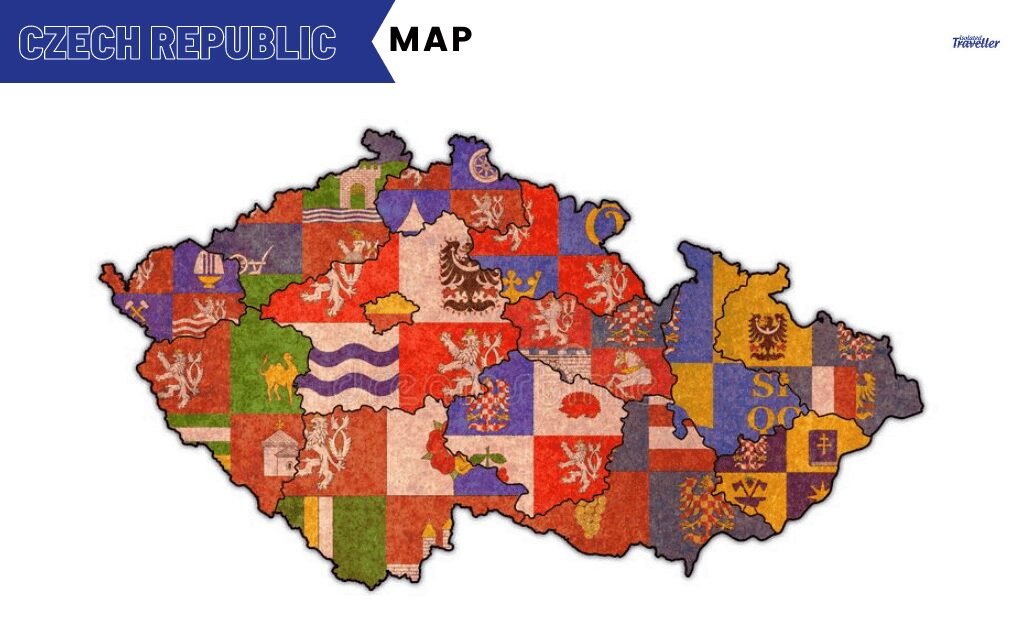
The map is showing the Czech Republic and its administrational regional flags
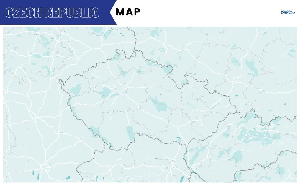
The map is showing the Czech Republic and its outline border with no labels.
The Czech Republic is divided into two separate regions.
- Bohemia in the west is surrounded by low mountains with plateaus and rolling plains.
- Moravia in the east is also mostly hills.
Some of the longest rivers in the Czech Republic are the Vltava, Elbe, Oder, and Morava. Black Lake is the largest and deepest lake in the country. Hranice Abyss is the world’s deepest, freshwater and underwater cave.
The Czech Republic has a hilly terrain and is surrounded by low-lying mountains. Sněžka, located at the border between Poland, is the Czech Republic’s highest point at 1,602 meters in height.
Key Facts & Figures
| Official Names | The Czech Republic and Czechia |
| Currency | Koruny (CZK) |
| Total Area | 78,867.00 km2 |
| Official Flag | 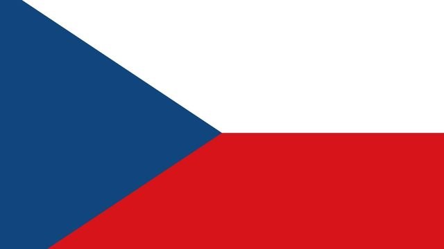 |
| Major Cities | Praha, Brno, Ostrava & Plzen |
| Population | 10.65 million |
| Calling code | +420 |
of
Czech Republic

