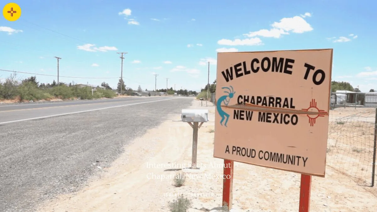
Facts About Chaparral
Chaparral is an unincorporated community and census-designated place in Doña Ana and Otero counties, New Mexico, United States.
Chaparral is primarily a bedroom community for the neighbouring city of El Paso, Texas, and the neighbouring military installations of White Sands Missile Range and Fort Bliss.
The median income for a household in the CDP was $22,692, and the median income for a family was $26,153.
The estimated population of Chaparral is 14,437, as of 2019.
The Chaparral CDP has a total area of 59.2 square miles, all of it land.
Chaparral is located in the southeast corner of Doña Ana County and the southwest corner of Otero County at 32°2′21″N 106°25′47″W.
The estimated elevation of Chaparral is 4,065 feet.
Chaparral is geographically isolated from the rest of Doña Ana County due to its location on the east side of the Franklin Mountains.
The median age in Chaparral is 31.6 years, 27.6 years for males, and 34.4 years for females.
Chaparral is officially part of the Las Cruces Metropolitan Statistical Area.