Facts About Conception Bay South
The town is commonly called C.B.S.
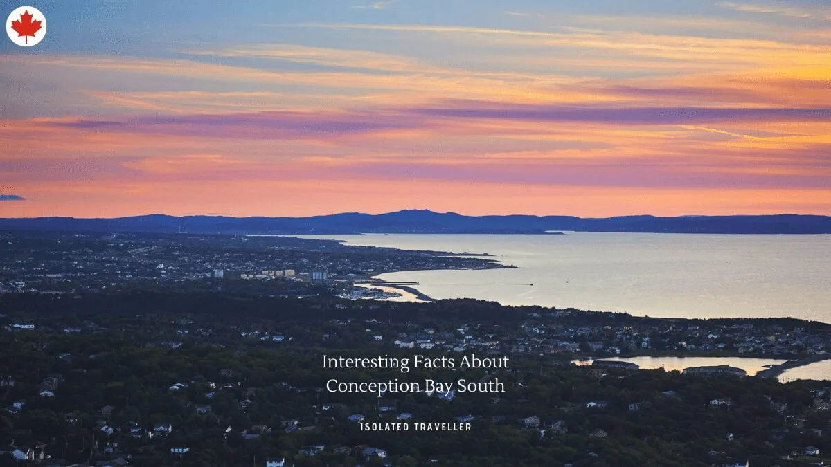
Conception Bay South is a town located on the southern shore of Conception Bay on the Avalon Peninsula of the island of Newfoundland, Province of Newfoundland and Labrador, Canada.
The town lies on a zone of Cambrian bedrock, primarily shale containing limestone concretions and manganese ores.
Conception Bay South was Incorporated into a town in 1973.
Conception Bay South is 14 m / 46 ft above sea level.
Conception Bay South was formed in 1973 through the amalgamation of nine communities: Topsail, Chamberlains, Manuels, Long Pond, Foxtrap, Kelligrews, Upper Gullies, Lawrence Pond and Seal Cove, all of which follow the coastline of Conception Bay.
The town of Conception Bay South is located on the southeast shore of Conception Bay on the Avalon Peninsula.
The total area of Conception Bay South is 59.10 km2.
The town is located on the southern shore of Conception Bay on the Avalon Peninsula of the island of Newfoundland.
In 2016, Conception Bay South was 92.3% White, 6.6% Aboriginal, and 1.1% other visible minorities.