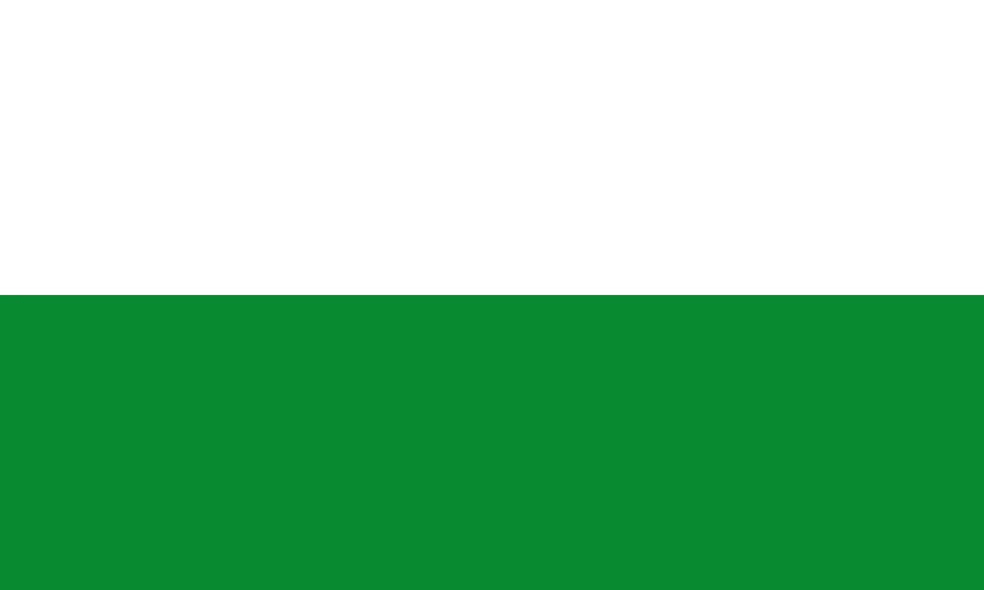
The flag of Pomeroon-Supenaam is the flag of Region 2 of Guyana, one of the ten administrative regions of the country. It is a horizontal bicolour of green and white. The colours stand for rice farming and for the many rivers, creeks and lakes of the region. This guide explains the design of the flag, what its colours and emblem mean, and the region it represents.
Key facts at a glance
- Region: Pomeroon-Supenaam (Region 2), Guyana
- Design: a horizontal bicolour of green and white
- Emblem: stalks of rice
- Regional capital: Anna Regina
- Area: 6,195 square km
- Population: 46,810 (2012 census)
Design and colours of the flag
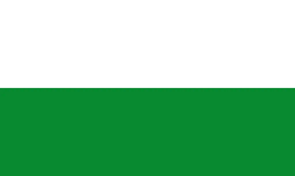
The flag is divided into two equal horizontal bands of green and white.
- Green represents rice farming, the main economic activity.
- White represents the many waterways of the region.
This is one of ten regional flags of Guyana. You can see them all in our list of flags representing the regions in Guyana.
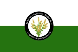
The emblem
The version of the flag with an emblem shows stalks of rice. Rice fields dominate the coast of the region, which is one of the main rice-growing areas of Guyana and exports part of its crop.
Where the colours come from
The colours of all ten regional flags are drawn from the Golden Arrowhead, the national flag of Guyana, adopted at independence in 1966. On the national flag green stands for agriculture and forests, white for rivers and water, gold for mineral wealth, black for endurance, and red for zeal and dynamism. The regional flags keep the same meanings and use the colours that best match each region.
History of the regional flags of Guyana
Guyana has ten administrative regions, created in 1980 and each run by an elected Regional Democratic Council. For most of their history the regions had no flags of their own. In 2017 the Ministry of Communities put forward a flag, an emblem and a set of colours for every region, published in a booklet titled “Emblems, Flags and Colours of the Regions of the Cooperative Republic of Guyana”. The aim was to give each region a stronger identity of its own.
Each flag exists in two versions: a plain bicolour or tricolour, and a version with the emblem of the region in the centre. The plan was debated at the time. Several regional chairmen and the then opposition party argued that the national flag, the Golden Arrowhead, should remain the only flag flown, so the regional flags are seen far less often than the national one.
About Pomeroon-Supenaam
Pomeroon-Supenaam lies on the Atlantic coast west of the mouth of the Essequibo River, an area widely known as the Essequibo Coast. It is named after the Pomeroon and Supenaam rivers.
- The landscape combines low coastal plain, forested highland and a small area of hilly sand and clay.
- Most people live in villages along the coast, with Amerindian communities further inland.
- The town of Anna Regina grew out of a government land development scheme on former plantations.
- The Tapakuma project links the Tapakuma, Reliance and Capoey lakes into one conservancy that irrigates the rice fields.
- Besides rice, farmers grow coconuts and raise beef and dairy cattle.
- The village of Charity, on the Pomeroon River, is the end of the coastal road and a busy river market.
- Lake Mainstay and Lake Capoey are popular places to visit.
Frequently asked questions
What does the flag of Pomeroon-Supenaam look like?
It is a horizontal bicolour of green and white. A second version adds the emblem of the region in the centre.
What do the colours of the flag mean?
Green stands for rice farming and white for the many waterways of the region.
What is the capital of Pomeroon-Supenaam?
The regional capital is Anna Regina, on the Essequibo Coast.
How many regions does Guyana have?
Guyana has ten administrative regions, numbered from 1 to 10 and named after the rivers that form their boundaries.
When were the regional flags of Guyana introduced?
The designs were put forward by the government of Guyana in 2017.
Last updated: November 2026.